- Home
-
About
- Our story
- Our leaders
- Our Minister
- Selected DEM presentations
- Work with us
- Annual reports
-
Open government
- Freedom of information
-
Proactive disclosure
- Minister's credit card expenditure
- Chief Executive's credit card expenditure
- Minister's overseas travel expenditure
- Chief Executive's overseas travel expenditure
- DEM employee staff travel expenditure
- Minister's domestic and regional travel expenditure
- Chief Executive's domestic and regional travel expenditure
- Minister's mobile phone expenditure
- Chief Executive's mobile phone expenditure
- Minister's ancillary expenditure
- Chief Executive's ancillary expenditure
- Chief Executive's gift register
- OHPSA Chief Executive’s credit card expenditure
- OHPSA Chief Executive’s overseas travel
- OHPSA Chief Executive’s domestic and regional travel expenditure
- OHPSA Chief Executive’s mobile phone expenditure
- OHPSA Chief Executive’s ancillary expenditure
- OHPSA Chief Executive’s gift register
- Public interest disclosure
- Diversity and inclusion
-
Consumers
- Power usage, savings and efficiency
- Energy contracts, billing and rebates
- Energy grid and supply
- Electrical, gas and plumbing safety
- Solar and batteries
- Contacts
- Electric vehicle subsidy
-
Industry
- Energy efficiency and productivity
-
Energy resources
- Investment
- Licensing and land access
-
Regulation
- Regulatory overview
- Approvals process
- Compliance and monitoring
- Environmental Register
- Licence annual reports
- Policies and Guidelines
- Regulatory research and compliance publications
- Projects of public interest
- Water and environmental management
- Offshore petroleum
- Amendments to the Petroleum and Geothermal Energy Act 2000
- Prospectivity
- Infrastructure and markets
- Data Centre
- Industry activity
- Roundtable
- Further information
- Contacts
- Geological Survey
-
Minerals and mining
- Exploration
- Mining
- Communities and land access
- Investment
- Mineral commodities
- Forms, legislation and guidance
-
Maps, data and online tools
- South Australian Resources Information Gateway (SARIG)
- Mineral tenement administration online
- Exploration Licence Application Status tracker
- Tenement returns e-lodgement (TReL)
- Defined impact mining proposal (MP) eTool
- South Australia Mining Register online
- Mining and Exploration Regulation System (MERS) Project
- Contacts
- Modern energy
- Regulatory services
- Transformational projects
-
Public consultations
- South Australia's Green Paper on the energy transition
- Hydrogen and Renewable Energy Act
- Petroleum and Geothermal (Energy Resources) Act 2023
- Emergency Management (Electricity Supply Emergencies) Amendment Act 2017
- Regulations for electricity planning and forecast functions
- Update of non-drinking water guidelines
- Past consultations
- Investors
- News
- Quick links

Energy & Mining
Energy & Mining
https://www.energymining.sa.gov.au
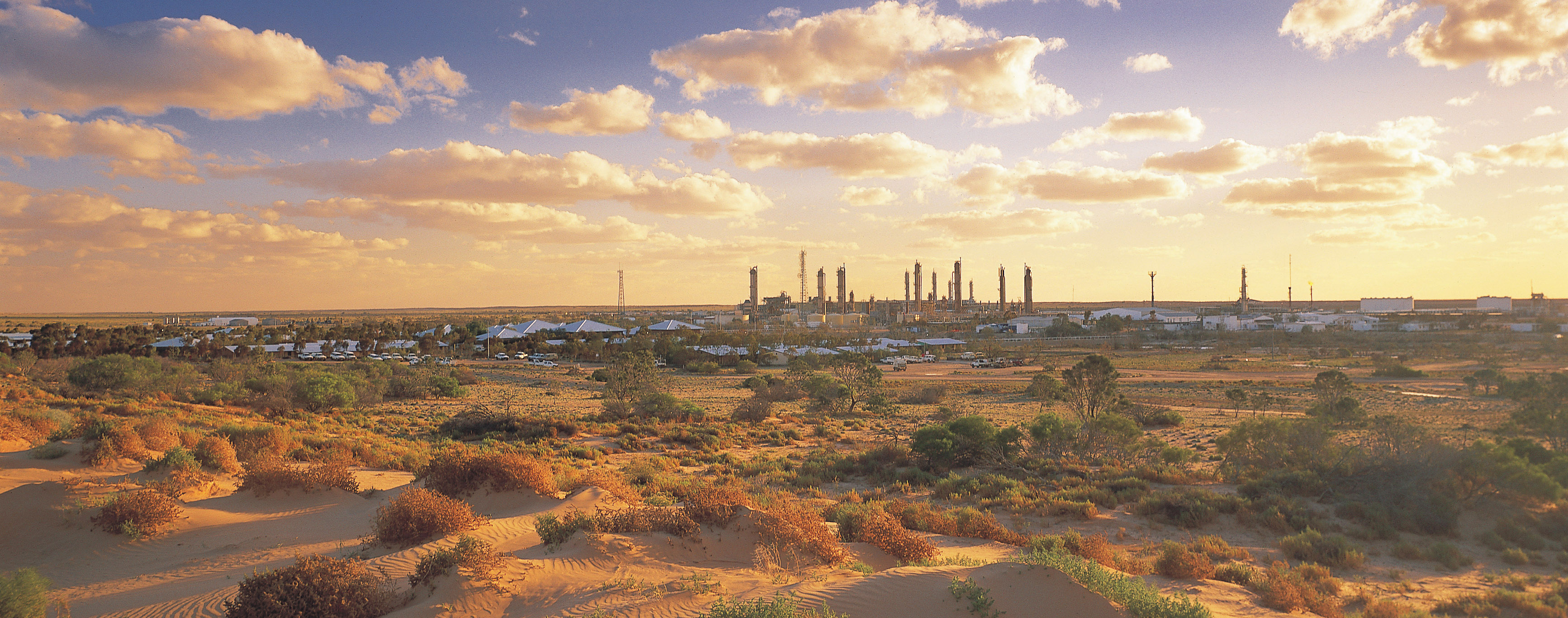
Energy resources
Popular content
Serious incident report hotline
To report a serious incident to DEM, as required by Section 85(2) of the Petroleum and Geothermal Energy Act 2000, licensees should contact the serious incident report hotline on: (08) 8463 6666. In the event the number is unattended, please record a message and DEM will return the call as soon as practicable.
Energy & Mining
https://www.energymining.sa.gov.au/industry/energy-resources
Apr 26, 2024 5:34 pm